Central Africa

6%

Review and Herald Publishing Assn. · Washington, D. C. · April 5, 1904

FromThe Youth's Instructor, Vol. LII, No. 14

Read the full edition

Central Africa

THE central portions of the Dark Continent have been immortalized by the labors of Livingstone and Stanley, which opened the way for civilization and evangelization to enter into its mysterious depths. The mouth of the Congo River shoots an unmixed current of water fifty miles out to sea, the “reedy” tract which Diogo Cam discovered by its color over four hundred years ago, while sailing the sea out of sight of land. This vast flood pours two million cubic feet of water a second into the ocean, through a channel ten miles wide and thirteen hundred feet deep. This mysterious river had for centuries baffled all attempts to solve its source. Dr. Livingstone had discovered its head waters in the heart of Africa, yet did not know it. The noble Christian philanthropist, the manful champion of the weak and oppressed, the unwearied and keen-eyed lover of nature, the intrepid explorer, whose name is as inseparably connected with Africa as that of Columbus is with America, had sunk down exhausted in the very heart of the continent, with his life-work unfinished. His highest praise is that he spent thirty years in the darkest haunts of cruelty and savagery, and yet never shed the blood of his fellow man.
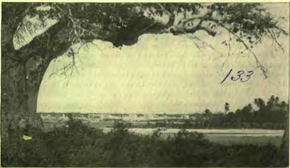
SCENE IN EAST AFRICA
The noblest testimony to his character and his influence is the conduct of that faithful band of native servants who had followed his fortunes so long and so far, and who, embalming his body, and secretly preserving all his papers and possessions, carried safely back over the long, weary road to the east coast all that remained of the hero and his work. Dr. Livingstone in April of 1873 died on the southern shore of Lake Bangweola, the head waters of the mysterious river he discovered flowing into Lake Nyangwe, unconscious of the fact that his mighty stream was the great Congo, and not the Nile, as he had fondly hoped.
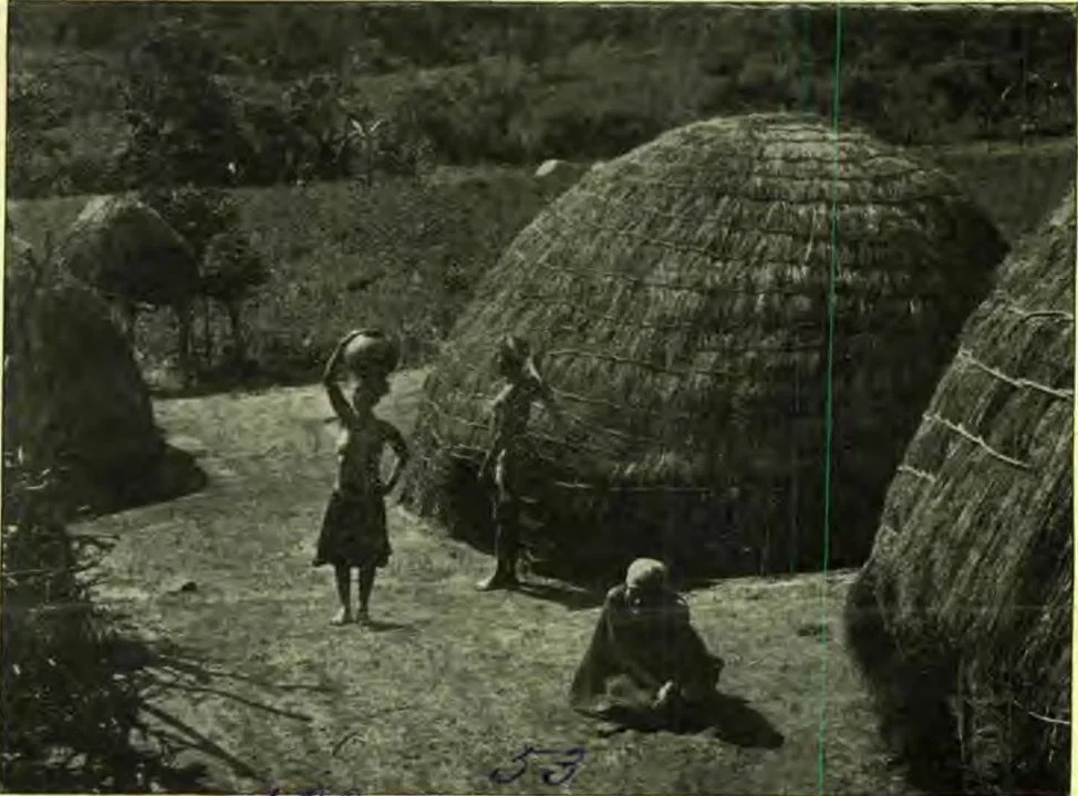
NATIVE AFRICAN HUTS
NATIVE AFRICAN HUTS
Lieutenant Cameron, sent by the Royal Geographical Society of Great Britain to carry aid to the doctor, met his dead body being conveyed to the east coast, so continued his journey with the materials he had hoped to deliver to the doctor, thinking to follow the course of the river. But he failed to induce his men to attempt the solution of the problem, and striking southward, followed the lower edge of the Congo basin to the west coast at Benguela.
He records some of the most extraordinary examples of rock and tree scenery in the world, found along the southern end of Lake Tanganyika—“magnificent terraces of rock, which looked as if built by the hands of man; and scattered and piled in fantastic confusion were overhanging blocks, rocking stones, obelisks, and pyramids. All were overhung with trees, whose limbs were matted together by creepers.” It seemed to the eye of the lieutenant like a transformation scene in a pantomime, rather than a part of Mother Earth. “The creepers sway and are pulled apart”—spirits?—O, no, “an army of monkeys swing themselves into the foreground, and, hanging by their paws, stop and chatter and gibber at the strange sight of a boat. A shout from the men, and they are gone with a concerted scream which echoes far and wide.”
Lake Tanganyika had been known to the Arab slave hunters of the east coast of Africa long before the white man gazed upon its blue waters. These cunning, cruel people had good reason for guarding well the secret of its existence. It is six hundred miles inland from Zanzibar, on the east coast, and almost in the center of that wonderful basin whose reservoirs contribute to the Nile, Zambezi, and Congo. Ujiji, on the eastern shore, is the rendezvous of all expeditions, scientific, commercial, and missionary, that have ever reached these waters. Burton and Speke were the white discoverers of Tanganyika. It seemed to them the revelation of a new world—“a sight to make men hold their breath with a rush of new thoughts, as when Balboa and his men stood silent on the peak in Darien, and gazed upon the Pacific Ocean.” Fifteen years later Lieutenant Cameron struck it, and could hardly believe that the vast gray expanse was aught else than clouds on the distant mountains of Ugoma.
Livingstone came upon it from the west side, on his last journey through Africa. Tanganyika is an immense trough sunk far below the tableland which occupies the whole of Central Africa. Its surrounding mountains are high; its length is nearly five hundred miles; its waters, deep, clear, and brackish. It has twelve hundred miles of coast.
When news of Dr. Livingstone’s death reached the world, plans were immediately laid to continue his work in the heart of Africa. The successful expedition of Henry M. Stanley through Asia Minor, the Caucasus, and from Persia to India, thence by Egypt to Spain, marked him to be the man to carry on further exploratory work in Africa.
The London Daily Telegraph and New York Herald combined to send Mr. Stanley to Africa. When the sad news of Dr. Livingstone’s death reached Europe, Mr. Stanley, fired with the desire to carry on the work of the great doctor, gladly accepted the commission, and starting from Zanzibar in November, 1874, he circumnavigated the lakes of Victoria Nyanza and Tanganyika for the first time, carefully charting them, settling forever the point of any connection with the Nile.
Had Livingstone known this, he could have saved himself the last two years of his journey, and the perils and sickness which led to his death in the wilderness. From Tanganyika, Stanley struck across to Nyangwe, to the doctor’s mysterious river, called by the natives Lualaba. In spite of all the obstacles and difficulties which had hindered others, Stanley’s great determination, his resources and knowledge of the Swahili language, enabled him to induce his men to follow him down the river. He very forcibly recalled to their minds the long, weary marches, and the terrible Urega forests through which they had recently passed, and told them how much easier it would be to sit in canoes and paddle down this great river, which must flow into the sea.
But could Stanley master its secret? Cameron found it impossible to follow the Lualaba. Livingstone had tried it again and again, to meet a more formidable obstacle in the hostility of the natives than in the forests and animals. Stanley was better equipped than his predecessors, and not averse to using force, if mild means failed. He would see if this swelling tide went toward the Nile, or came out, as he suspected, through the Congo into the Atlantic.
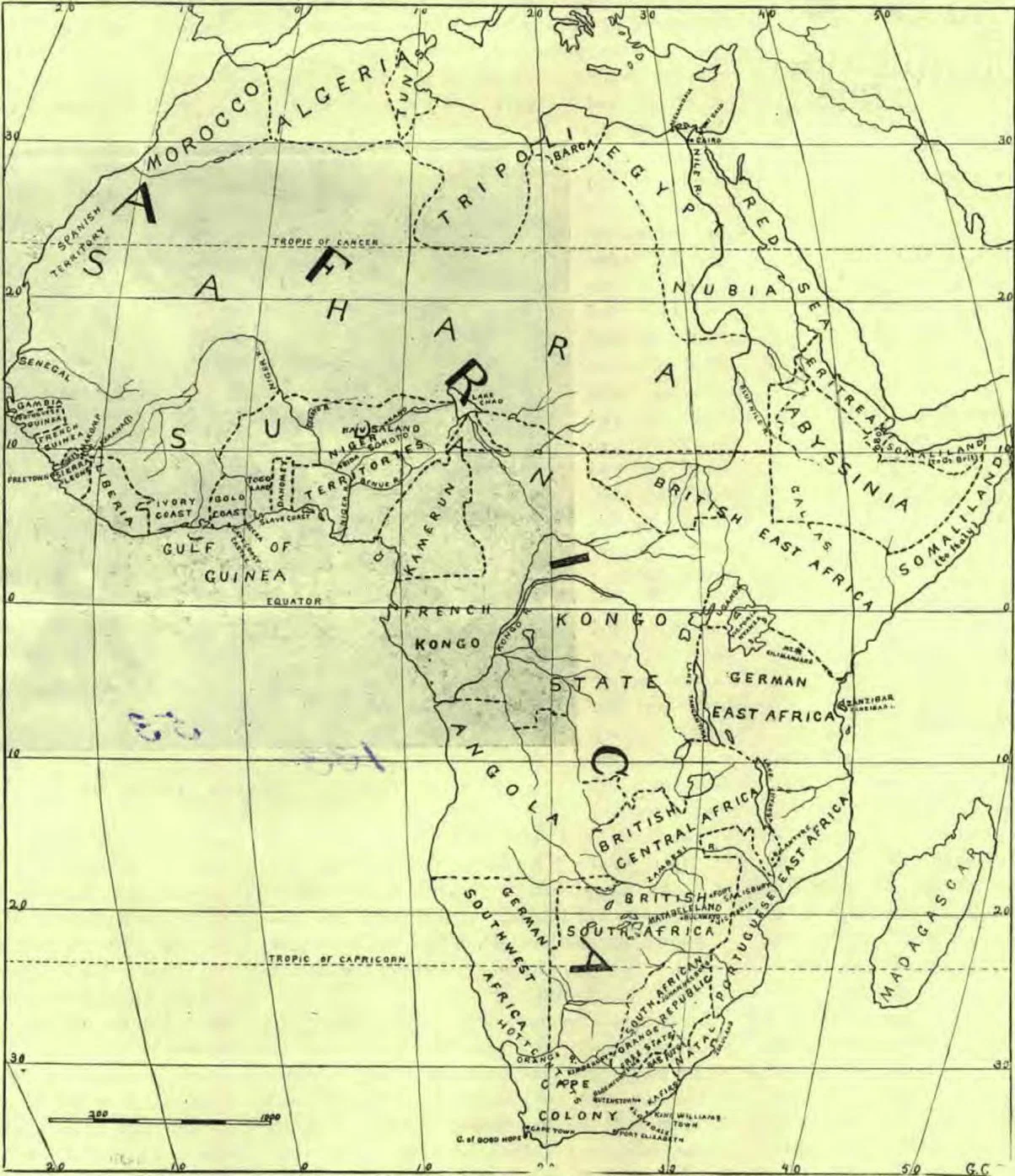
MAP OF AFRICA
MAP OF AFRICA
It was a mighty stream where Stanley struck it—“full fourteen yards wide, and moving with a placid current.” Here he marshaled his forces, only one European attendant being left. The party had been thinned out in the previous explorations, but it still consisted of one hundred and forty men. Not a native attendant faltered now. It would have been death to desert in this hostile region. Such woods! so tall, so dense, so somber,—they had never seen before. Those of Tanganyika and Uganda were jungles in comparison. Even the natives had penetrated but little into their depths. They line the course of the Lualaba for fifteen hundred miles northward from Lake Nyangwe. MRS. L. E. LA BONTI.
(Continued)