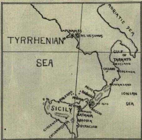
Map of earthquake district. The transverse lines are longitude 15th degree east, and latitude 40th degree north. The…
Map of earthquake district. The transverse lines are longitude 15th degree east, and latitude 40th degree north. The square represents a territory of sea and land 420 by 350 miles square. Mt. Etna is the center of the disturbance. Messina, Catania, Agosta, Syracuse, and Reggio, are among the greatest sufferers. Mt. Vesuvius is at the north of the district.
From Signs of the Times, Vol. 36, No. 2., January 13, 1909